Hiking is so underrated. If you want to do something that is low impact and yet beneficial for your heart health, then hiking should be an option. I personally do not enjoy running. I enjoy cycling but then that is something that I do only when the roads are relatively empty. Hence the time I cycle is usually after 11pm on weekdays.
The reason why hiking is a good form of exercise is because of the variation in gradient in a trail. A good trail would have a good mix of inclines, declines and flats. This variation causes your heart to vary its heartbeat over the course of the hike. This variation places healthy stress on the heart.
In Singapore, in my personal view, there is only one hiking trail with a good mix of inclines, declines and flats. That trail is the Bukit Timah Nature Reserve.
On weekends, this trail is very crowded. However, on weekdays, there are usually few hikers.
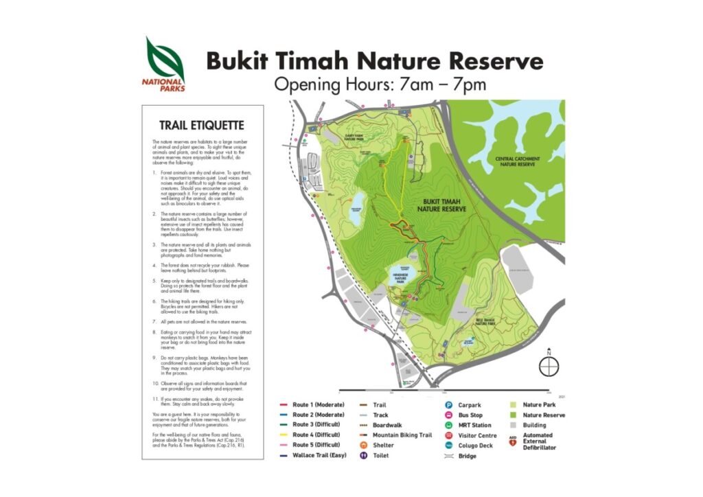
My colleagues were here with me on a Tuesday morning. Some, if not all of them were unfamiliar with hiking at Bukit Timah Nature Reserve. Hence, I made some modifications to the route.
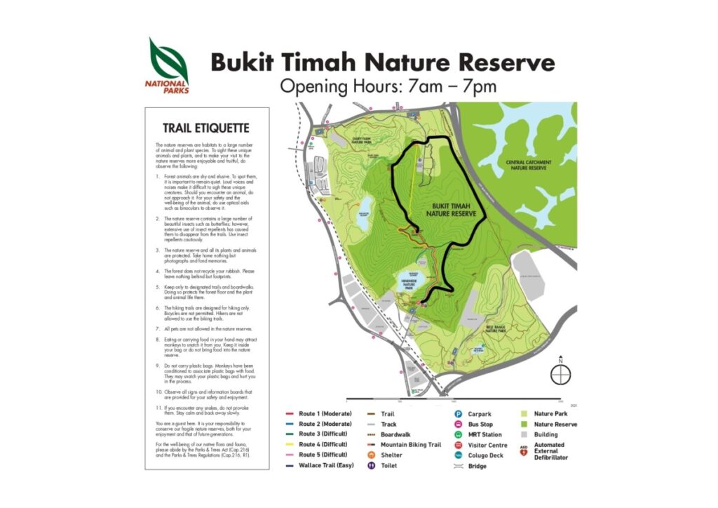
We started off with Route 3 (Green), merged onto the trail via Catchment Path before connecting with the Route 4 (Yellow) before heading to the summit. On the way back down from the summit we took Route 1 (Red).
Here is the route we took.
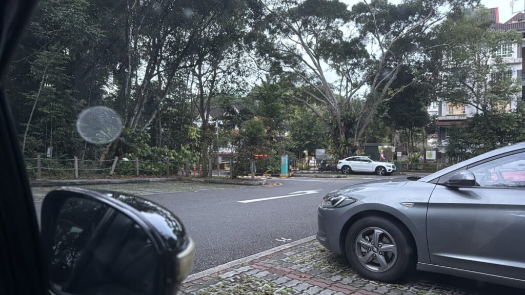
The meeting time was 720am and the meeting point was at the public carpark at the end of Hindhede Drive.
As mentioned, on weekday mornings this place is relatively quiet.

The team was ready for the hike.

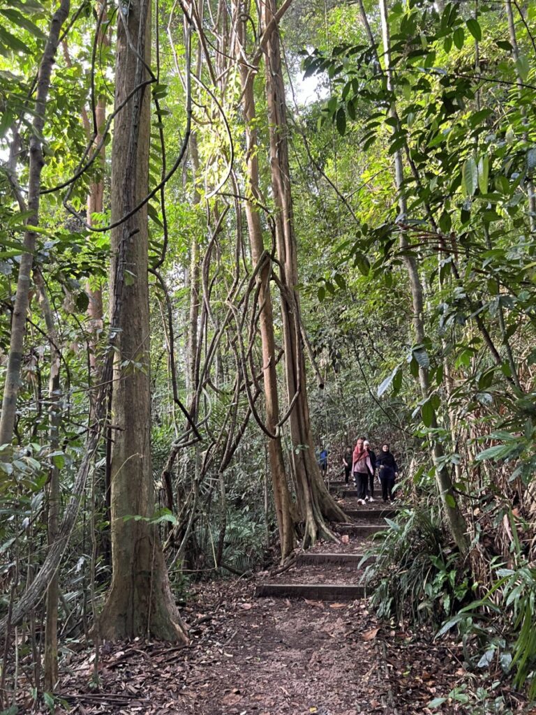
The start of the Green Route was moderately challenging. There were a flight of stairs at the beginning. But then the rest of the trail was relatively doable for anyone. Even those who do little to no exercise.
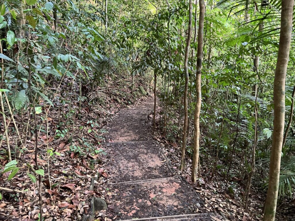
Mornings in Bukit Timah Nature Reserve are beautiful. Despite the sun, when you are within the Nature Reserve, you are shielded from most of the heat.
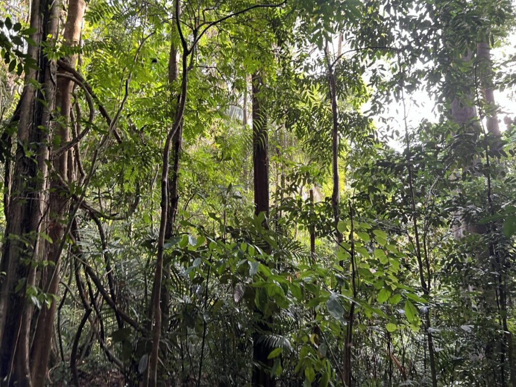
The team trudging along.
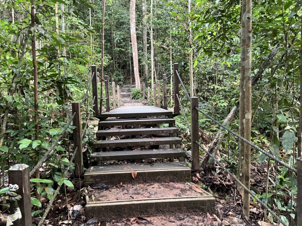
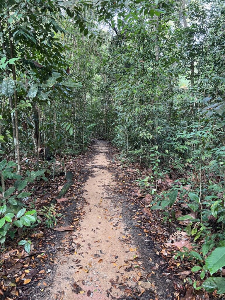
There is this nice little stream along the Green Route. If you see this then you are on the right track.
This is where we broke off to the Trail. That is the brown line on the NEA map of Bukit Timah Nature Reserve.
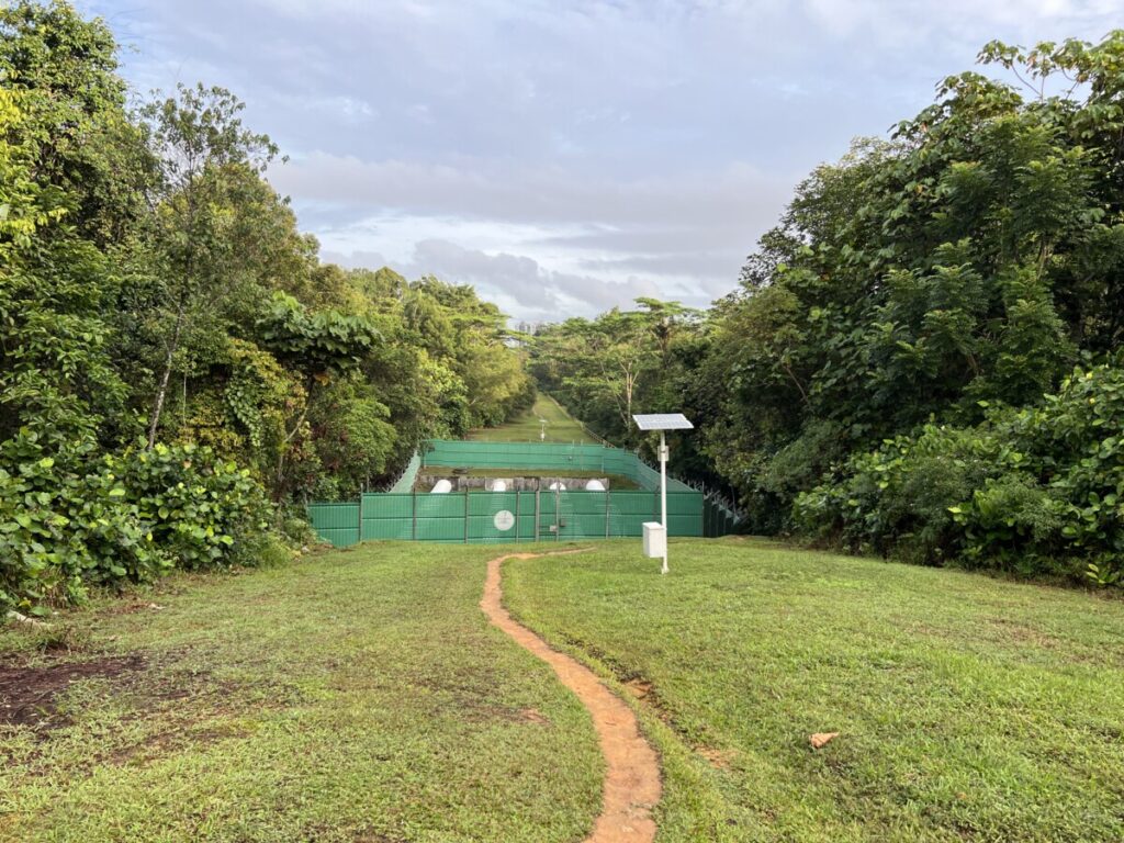
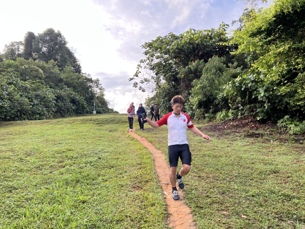
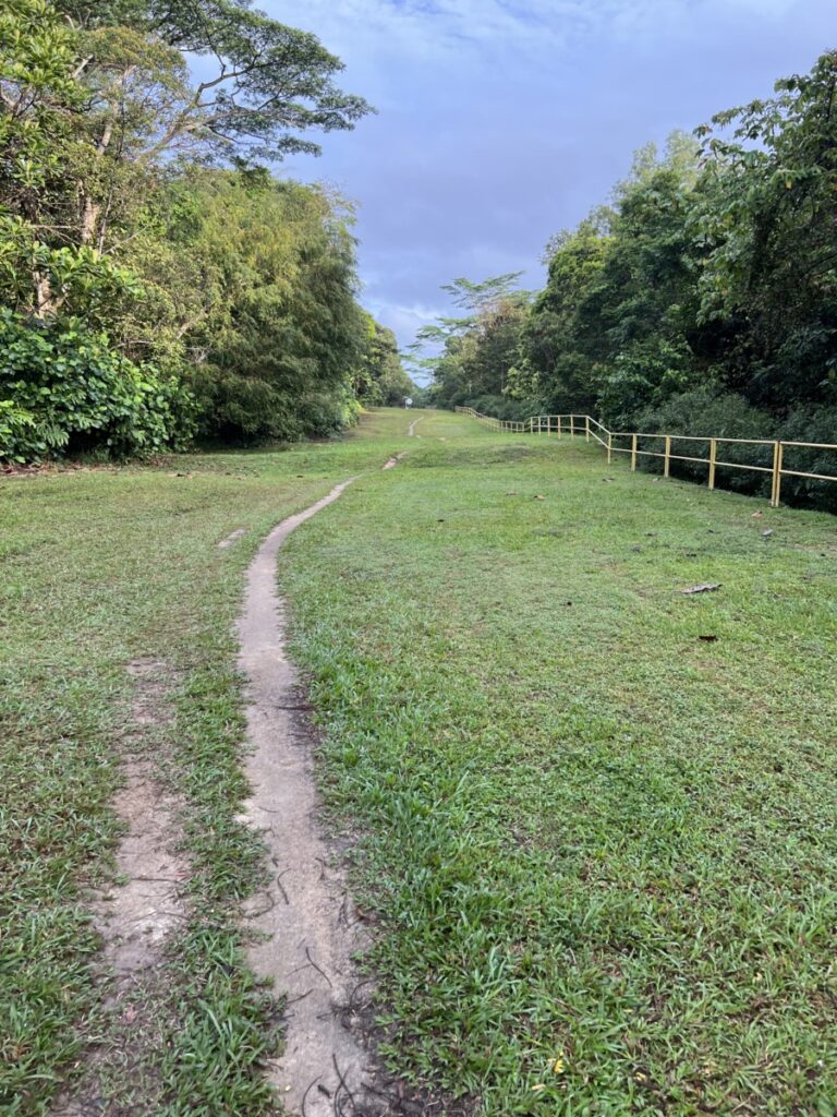
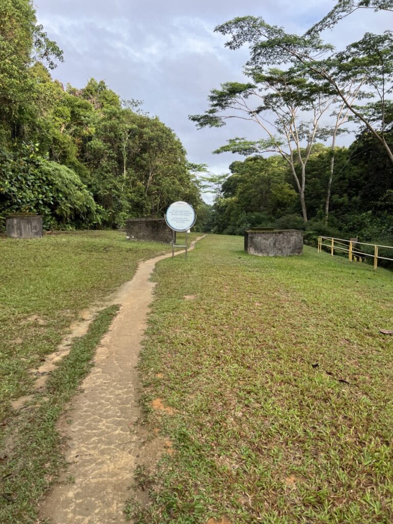
We next merged back to the Yellow Route.
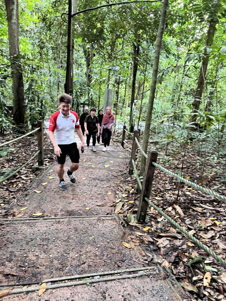
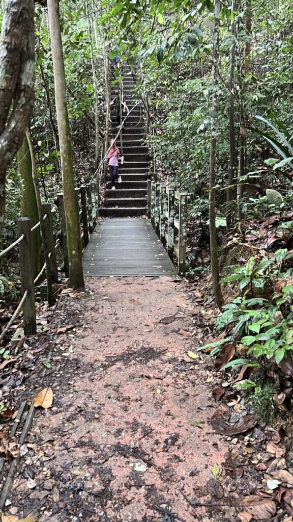
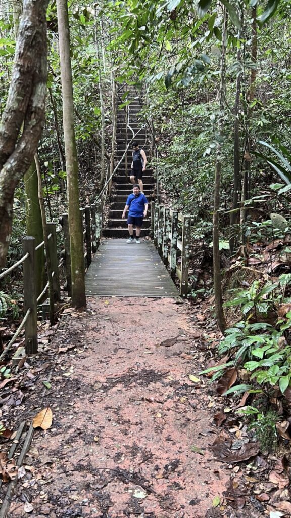
Wilber was doing fine. He hardly exercises on regular days but he was still surviving. Albeit at a relatively slow pace.
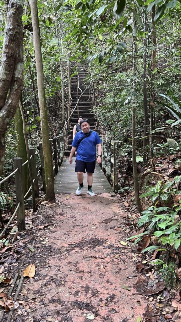
There is this very long flight of stairs on the Yellow Route.
Before we reached that very long flight of stairs, we first had a prelude.
And here is that long flight of stairs. I would say that this is perhaps the most challenging part of the whole Bukit Timah Nature Reserve.
Everyone made it. No casualties.
This is Wilber completing the long flight of stairs.
This was Willie giving an analysis of how to conquer the long flight of stairs.
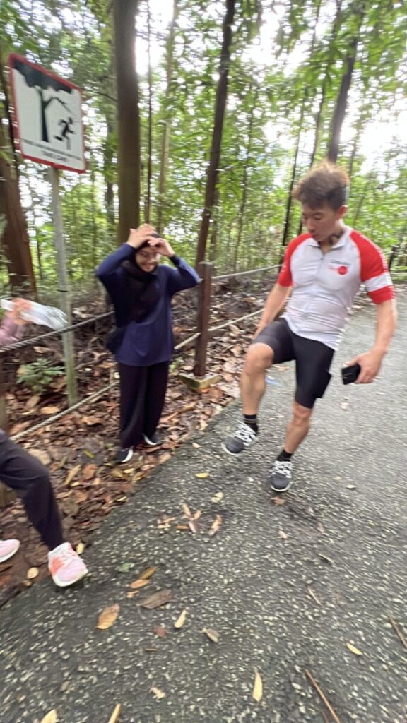
The Yellow Route merges with the Red Route. This is the well paved route. At this point, the summit is very close by.
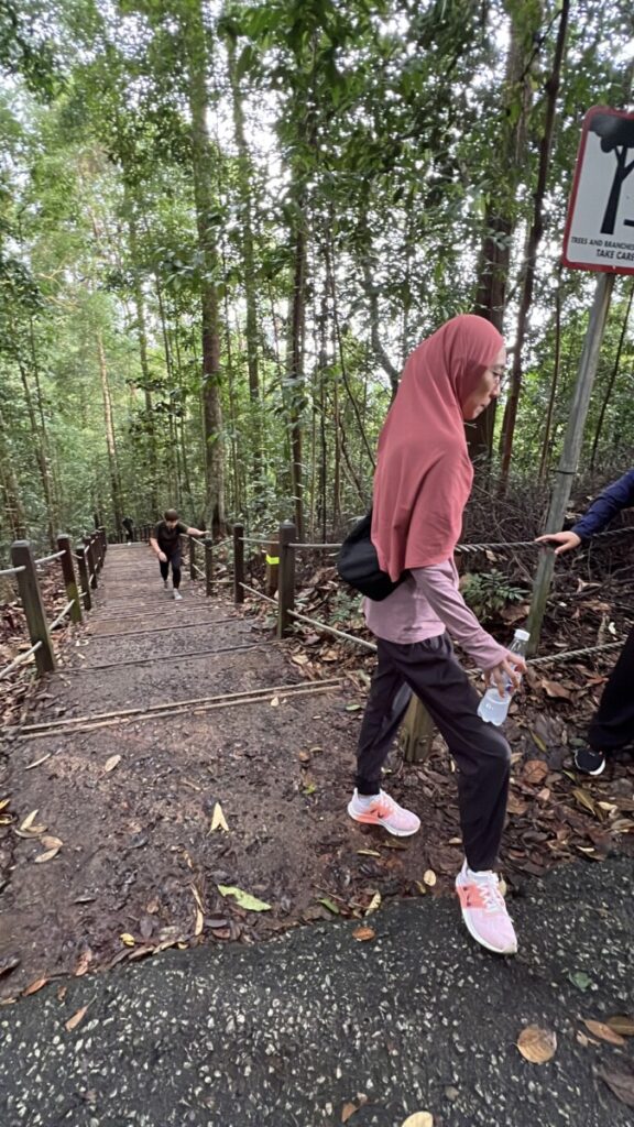
Here is the team at the point where the Yellow Route merges with the Red Route.
This is the last flight of stairs.
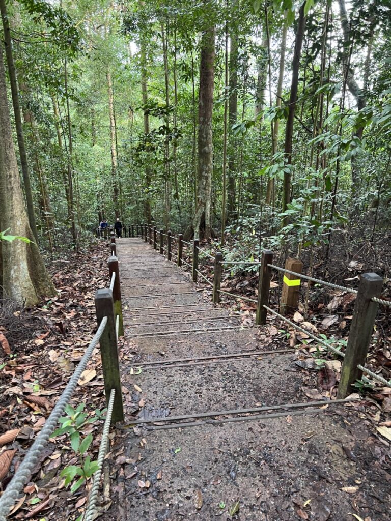
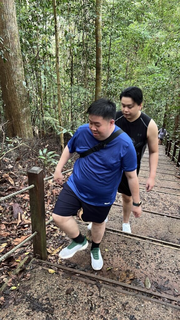
Look at the motivation and determination!
Everyone made it to the summit!

The trail, in all honesty, is not that tough. You can go at your own pace.
The total distance was 5.47 km over 8,348 steps. This was recorded with my Apple Watch.
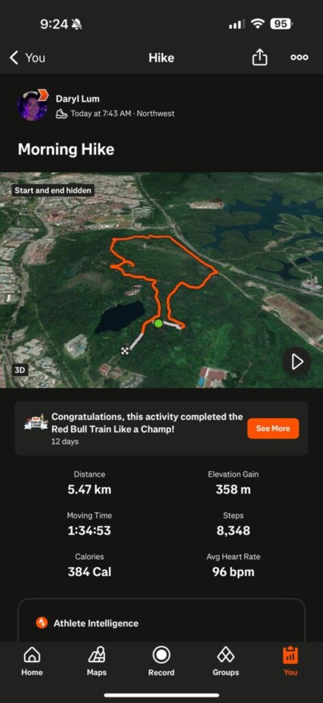
Do follow me if you are on Strava:
Check out Daryl Lum on Strava https://strava.app.link/96ubTFjulRb
Hiking is for everyone. The variation in elevation makes it a very good exercise for your heart.
Yours sincerely,
Daryl


